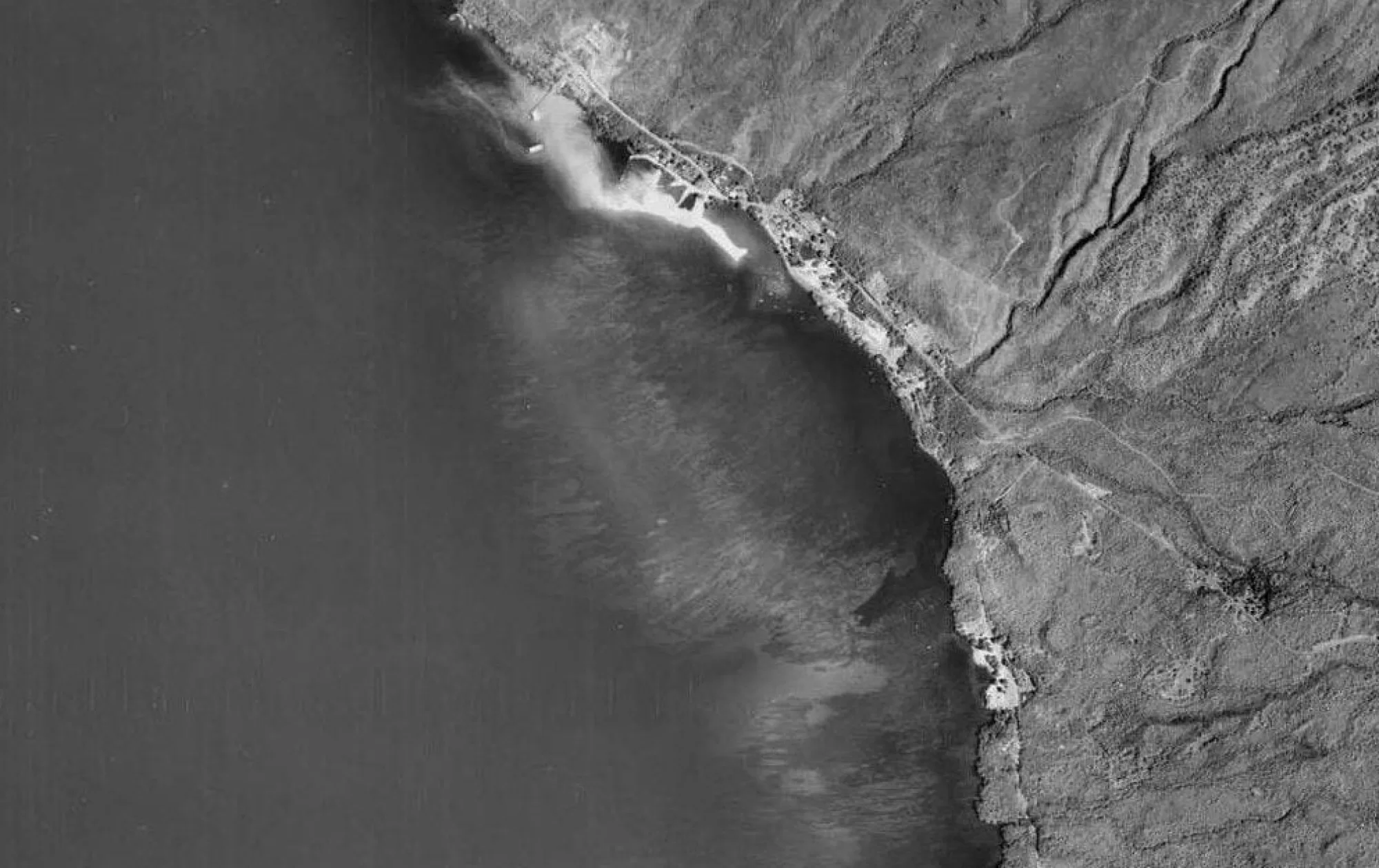

This map shows an area documented with photos dating from 09.28.2014 to date. We are seeing the recovery; however, looking back through the old photos, we lost a great deal. The colonies were observed in the period from September 2015 to shortly afterward. The period from 2015 until when these coral heads were stripped bare was not documented.… Read more “coral monitor area 1(9.2014 to 8.2022)”


