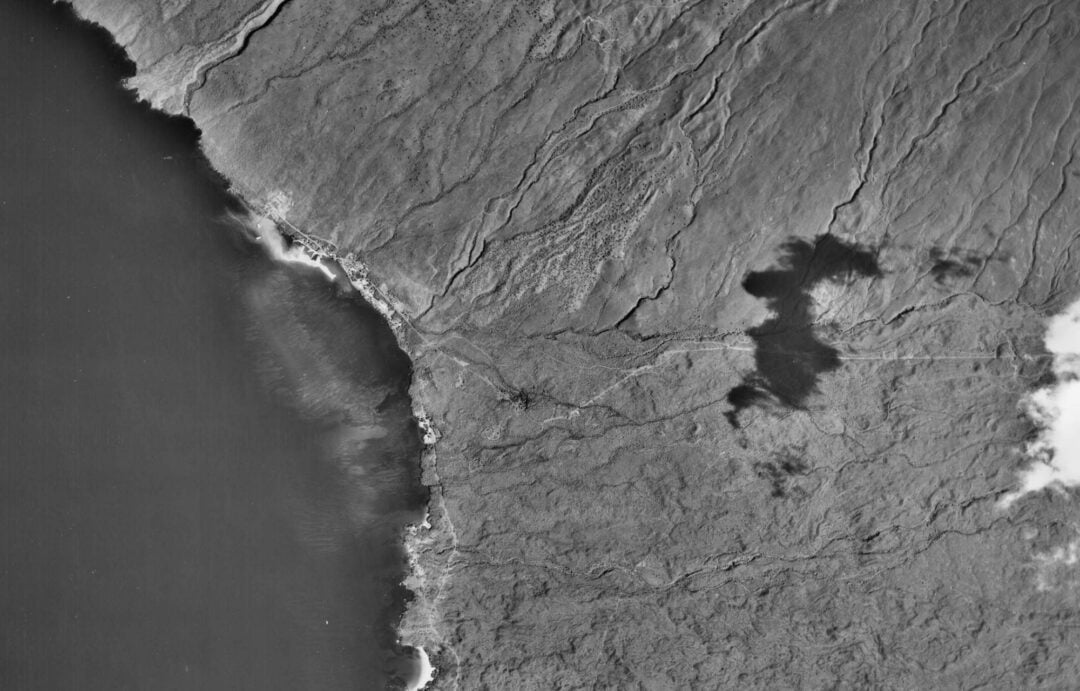


remaining coral reef
The last image shows the remaining reef of the harbor beach (LSD Beach)
These images are published by the USGS/ Pacific Coastal and Marine Science Center. You can find them here.

wildlife inventory and issues affecting kawaihae coral reef


remaining coral reef
These images are published by the USGS/ Pacific Coastal and Marine Science Center. You can find them here.