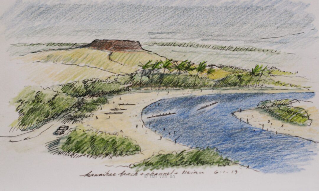
We confirm that preparatory work for the harbor’s future development/improvement has begun. In September 2024, AECOM flew its drones to do aerial surveys of the coral flats as part of the state-wide photometry survey for sea level rise modeling. Yesterday, a ground survey crew was in the area. They were surveying the areas encompassed in the planned improvements and, likely, a new pier proposed in the HI Commercial Harbors Masterplan 2035 for Kawaihae Harbor.… Read more “Survey work at harbor beach 3.18.2025”
Kawaihae Reef geographic and thematic maps


remaining coral reef
The last image shows the remaining reef of the harbor beach (LSD Beach)
These images are published by the USGS/ Pacific Coastal and Marine Science Center. You can find them here.
kawaihae harbor beach reef survey raw
This is a visual survey of the remaining coral reef and coral that re-populate the man-made beach in the Kawaihae Harbor since the harbor was constructed after destroying the Kawaihae Reef in 1959. This little reef is in the path and location of the proposed new Pier 3 to be built as planned by 2035.… Read more “kawaihae harbor beach reef survey raw”
