This is a compilation of posts relating to imminent destruction of the coral flats beach or LSD beach at Kawaihae Harbor when Department of Transportation implements its harbor expansion plan 2035.
kawaihae coral flats beach will go extinct

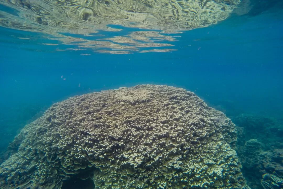
wildlife inventory and issues affecting kawaihae coral reef
This is a compilation of posts relating to imminent destruction of the coral flats beach or LSD beach at Kawaihae Harbor when Department of Transportation implements its harbor expansion plan 2035.


This image was made as a composite of two aerial photographs: 1954 and 2000. The later image show remarkable clarity of the reef system. The harbor, resorts and miscellaneous structure after 1956 were masked out.… Read more “colorized kawaihae reef pre-harbor 1954”