

After another powerful flash flood on March 14th, 2026, the bay in Pelekane Bay no longer exists; it has turned into land. I visited again today and confirmed that the ridge of the baymouth bar, or the new beach, now sits above the high-tide line. This indicates that the beach is likely to stay at least through the summer. Aside from the new beach, the other area, although still containing water, is barely a foot deep at low tide.

The construction of Kawaihae Harbor sped up the bay’s decline. It was inevitable that the bay would eventually be filled in. According to the US Army Corps of Engineers:
Nearshore breakwaters modify currents around them, which results in the accretion of sediment directly behind the structures.“
Pelekane Bay was probably an afterthought when Kawaihae Harbor was designed. It took more than sixty-six years for sediment buildup to serve its original purpose, whether on purpose or by accident.


The bay has always been shallow, according to a 1932 nautical chart and earlier ones. The natural drainages feeding into it continue to deposit sediment from above. However, after the harbor was constructed, the natural balance between ocean currents and waves that kept its depth stable was disturbed. From my experience, even when heavy sediment runoff turns the ocean brown for miles north and south of Kawaihae Bay, water clarity usually returns within a few days. Therefore, the Pelakane Bay close to shore would have also cleared.

Not too long ago, before 1957, a visitor standing at Kawaihae Bay in the same spot would have seen and experienced the same blue-green water Hawaii is known for. We learn this from local recollections and the apparent “sincere” effort to study a circulation channel connecting the Kawaihae Harbor Basin to Pelekane Bay as a way to address its degradation. Here is some background on the motivation for the study.
“Long-term changes in the marine habitat and biota of Pelekane Bay were studied over a 20 year period from 1976 through 1996 (Tissot 1998). Tissot noted that a major decline in the abundance of the marine biota had taken place. Possible causes of this deleterious change were associated with long-term sedimentation due to terrestrial runoff from the Kawaihae watershed and reduced ocean circulation in Pelekane Bay caused by construction of the deep- and shallow-draft harbors. In an effort to improve water quality and restore marine habitats in Pelekane Bay, installation of a circulation channel connecting Pelekane Bay and Kawaihae Harbor through the coral fill area was proposed with the intent of improving water circulation in the bay through Kawaihae Harbor and, therefore, moving accumulated sediment out of the bay (College of Tropical Agriculture and Human Resources 2001, Tissot 1998).“
The final evaluation, simply put, is that ‘Based on the findings in the study, implementation of the circulation channel is not recommended.” I apologize for the cynicism here and will add that dredging and destroying over 200 acres of a pristine coral reef to create a harbor was probably not recommended either.
With forty years of experience as an architect, I have worked with engineers who are professionally trained to solve design problems. I believe the Army Corps of Engineers is no different. If they had been assigned to address the issues Pelekane Bay inherited after the harbor, they would have done so. Studies are often limited by resources and can be biased. If those in charge wanted to suppress an idea or project, either intentionally or unintentionally, a study could easily be evaluated as “not recommended.”


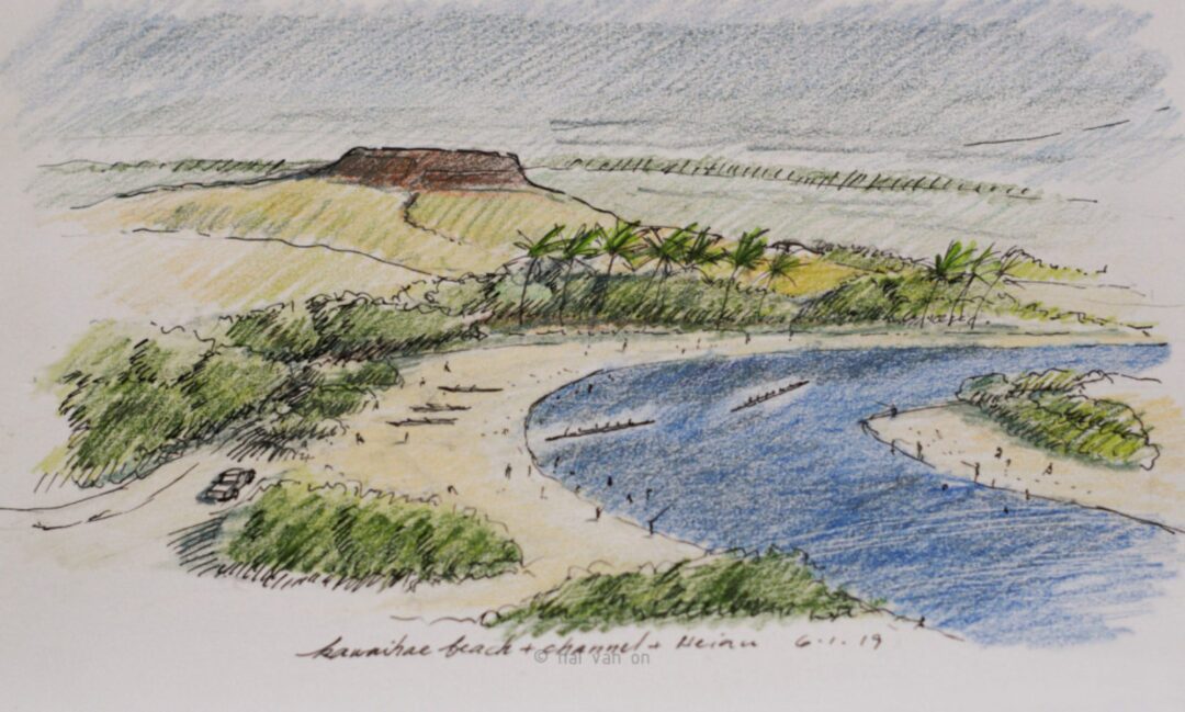
So, are we really just going to move on and fuss over changing the name from Pelekane Bay to Pelekane Beach? Pu’u Kohala Heiau is probably the most important cultural site on all the Hawaiian Islands. The ocean’s edge, though muddy, once lapped at the base of that Heiau and is now buried. The symbolic loss of ocean access, though not entirely, is clear to me.
Optimistically, things changed, and new opportunities will emerge. At least, a new, broader beach has appeared to complement the cultural site. Sealing off the bay could allow ocean currents to bypass that problematic leftover muddy area and improve water quality. The blacktips, often associated with the bay and other wildlife that frequent it, will relocate elsewhere.
“Nature bats last,” my friend Peter Krottje recently said. It has a way of finding balance when left undisturbed.
Discover more from kawaihae reef
Subscribe to get the latest posts sent to your email.