
The recent rain and flash flood events on the Hawaiian Islands in March 2026 have also affected the land adjacent to Kawaihae Harbor. This artificial land was created by filling the reef with material dredged to create the harbor basin. Essentially, its bones were crushed into small pieces and combined with sand and other materials found at the reef site.


Over the past decade, there have been notable flash floods and runoff events. I have lived on Hawaii Island since 2005, so my observations are based on recent memories.
The last two flash floods—one on May 10, 2024, and the most recent on March 14, 2026—were notable for their destructive effects on the infrastructure of the artificial land. In 2024, a section of the paved road to the Small Boat Harbor South was washed out. The March 2026 flash flood further expanded the outflow and eroded additional land.
Coincidentally, in 2019, I wrote about the idea of a “circulation channel” and beaches, explaining how it could be a mutually beneficial capital project for the public while supporting HDOT and DLNR in their upcoming harbor plans.

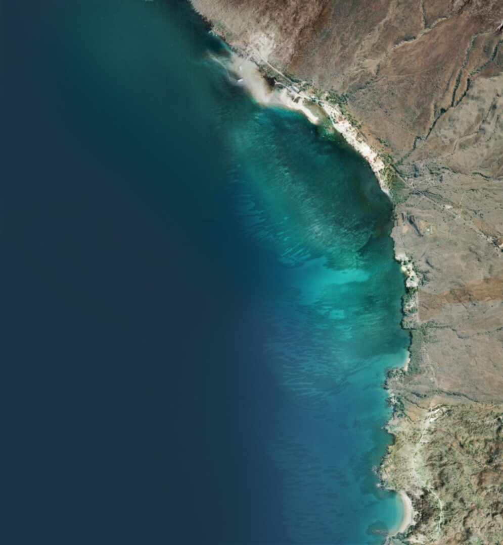
Naturally, we seem to be receiving some help from the environment. The new erosion on DLNR’s property is slowly moving toward the pre-harbor shoreline, as shown on the map. It won’t be long before the rushing water from future flash floods will carve a new path directly to the ocean.
The Army Corps of Engineers has adopted a philosophy and program focused on engineering with nature. Hopefully, when the time comes, the Corps will sincerely implement its best practices to collaborate with nature here. They oversee infrastructure projects related to harbors, waterways, and the ocean.
In our case, nature is telling us that water needs a way to reach the ocean, as it has for eons, whenever it rains on the planet. If this artificial peninsula were built in the path of nature’s drainage, it would only be a matter of time before it becomes an island. Eventually, that island made of sand and coral remains will also sink into the ocean.
The road and improvements to the small boat harbor were finished and dedicated in November 2014. The road stayed unused behind a locked gate for over two years afterward, for unknown reasons. The public finally used it for seven years until it was washed out by rain in May 2024. DLNR is responsible for fixing the road, but it is unclear whether there are plans to repair it in the future.
I wonder if the professionals in charge of road repair will plan for future flash floods or repeat the same mistake. DLNR might do nothing at all.
Discover more from kawaihae reef
Subscribe to get the latest posts sent to your email.
Nice discussion. Nature bats last
Thanks, Peter. We checked today again at low tide, and the baymouth bar is still there. It looks like it will stay for a while.