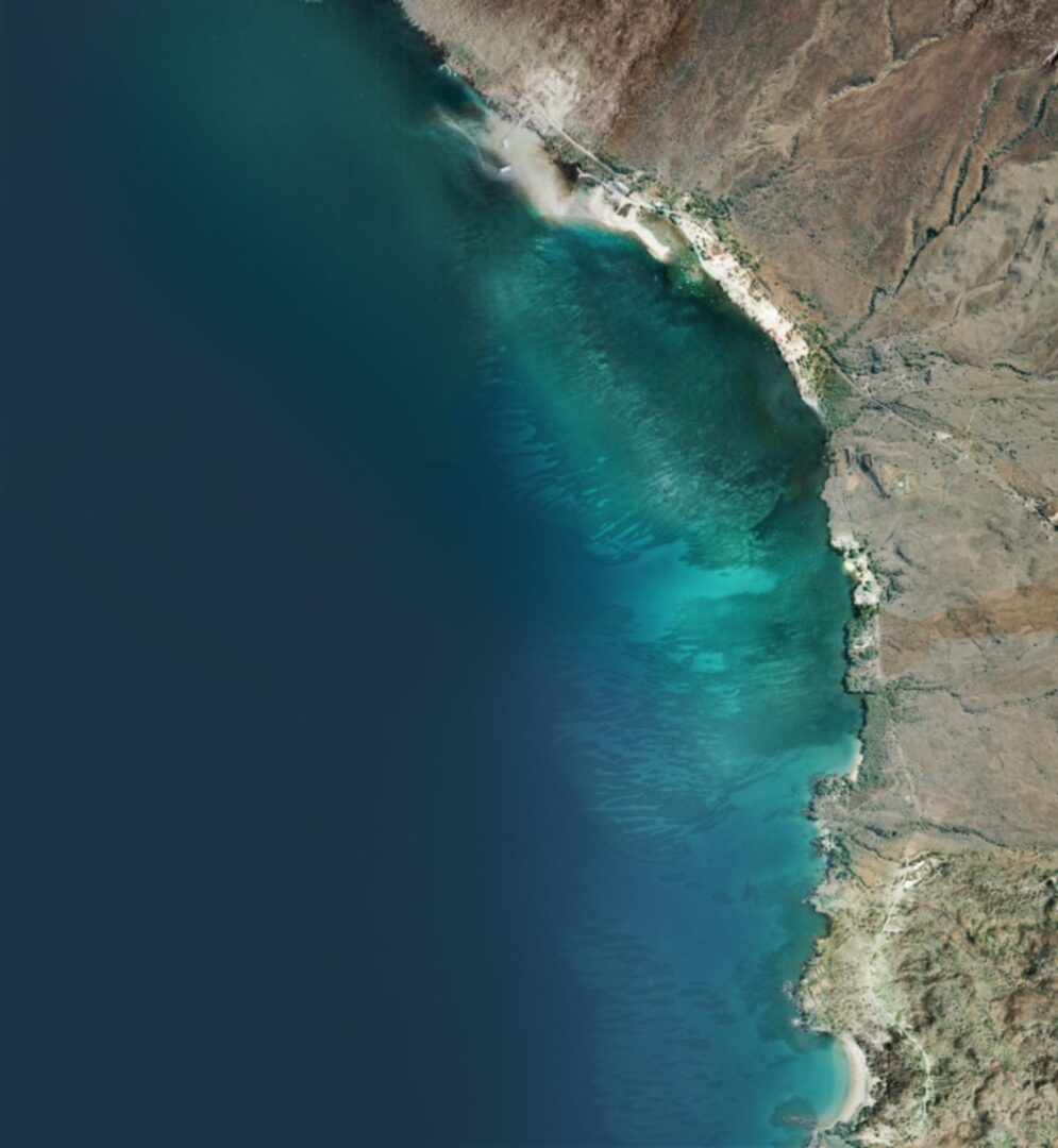

Sediment of rocks and gravel resulting from years of run offs and most significant flash flood of August 17, 2015 have filled in the center of Pelekane Bay. Dead trees were washed out from that flood and are now stranded far from shore. Since the construction of the Kawaihae Harbor in late 1950, Pelekane Bay has suffered from sediment buildup. Currently, it is possible to walk from shore to the mouth of this small bay. The map below indicates a visual estimate of firm walking and perhaps a driveable area. The ground is rocky and gravelly.
[googlemaps https://www.google.com/maps/d/embed?mid=1dd0jWF83cQiGSslUbqkTcEgYU5Y&hl=en&w=640&h=480]
