New Channel and Beaches Concept Between the Harbor and Pelekane Bay Revisited

The map illustration of the affected area was based on a satellite image captured on 03.25.2026

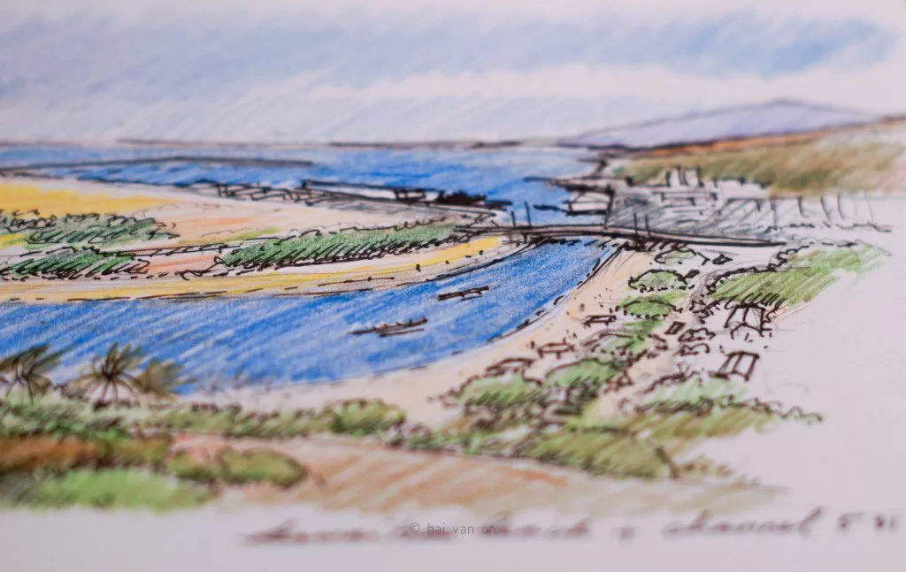
The recent rain and flash flood events on the Hawaiian Islands in March 2026 have also affected the land adjacent to Kawaihae Harbor. This artificial land was created by filling the reef with material dredged to create the harbor basin.… Read more “New Channel and Beaches Concept Between the Harbor and Pelekane Bay Revisited”

sediment runoff events 10.5 and 10.6.2022

sediment runoff 10.6.2022 kawaihae harbor

Update 11.17.2022. Water visibility is still murky. Floating debris is mostly dissipated. The sediment of small and large branches, other organic material and goat pellets are still visible at hightide lines. Heavier branches and organic materials settled on the bottom along the shore soon after the runoffs are still there. We do not know what government agencies are responsible for the beach cleanup.… Read more “sediment runoff events 10.5 and 10.6.2022”

Don`t copy text!