Update 09182027
Road repair is the responsibility of DLNR and not DOT Harbors, according to DOT personnel.
Update 08212024
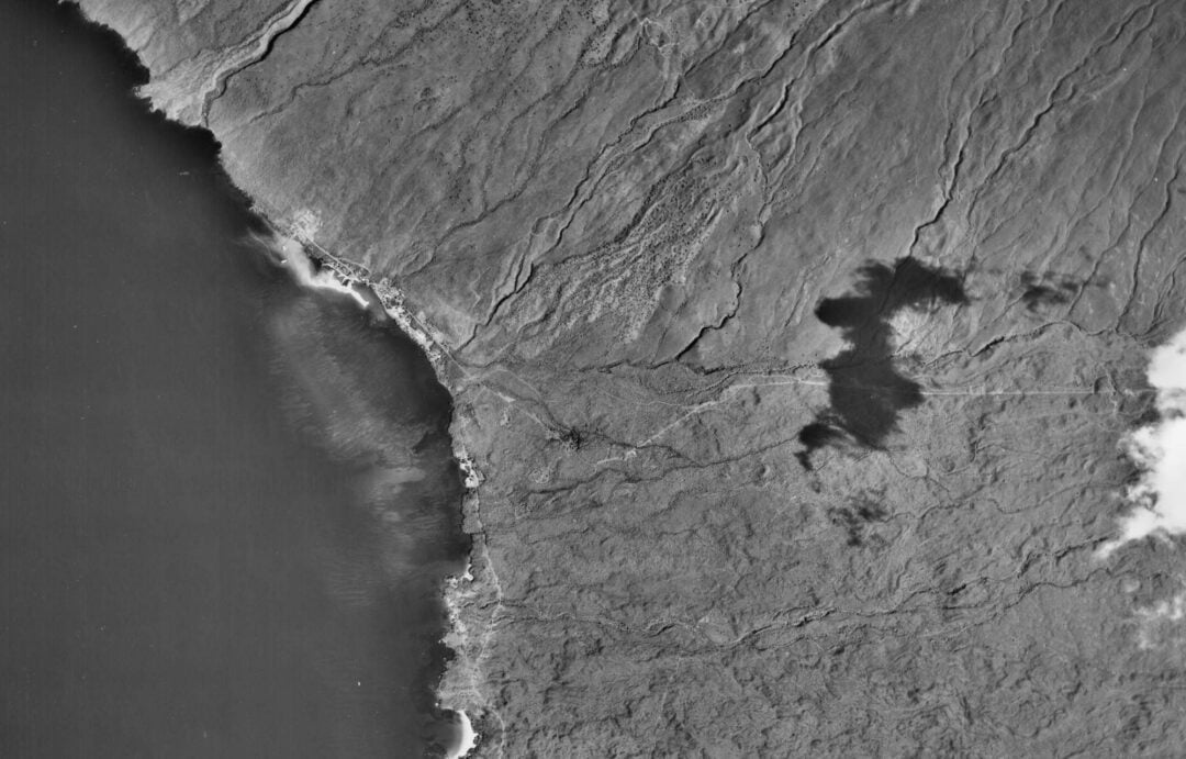
The images below show the washed-out road near the gulch’s outflow. The road appeared to be constructed on coral fill without protective measures against the potential for flash floods. ( The map base does not show the most current condition).


Inner harbor coral reefs appear unaffected visually by heavy rain, flash floods, and sediment deposits.


May 10, 2024, flashfloods
According to local news sources, 19 inches of rain fell on the Kohala watershed on the evening of May 10th and the morning of May 11th. The flashfloods washed out the road from the Kawaihae Harbor Gate 13 to the small south boat harbor. Elsewhere on the Kawaihae Road from the intersection of the Queens Highway to the north, a small boat harbor was inundated by mud and debris deposited by torrents from the ordinarily dry stream beds. The south gate of the Kawaihae harbor has waist-high debris/watermark. There were soil deposits with basalt boulders of at least the same height. The aftermath resembled rock and landslide.
Discover more from kawaihae reef
Subscribe to get the latest posts sent to your email.
Thanks for the thorough job reporting on this event, Hai. Much appreciated.
And great to ear the corals withstood the sediment influx.
Thanks Lindsey, I need to survey Pelekane Bay. From the road, it does look very brown under water still.